Southeast Soakers the Next Couple of Afternoons
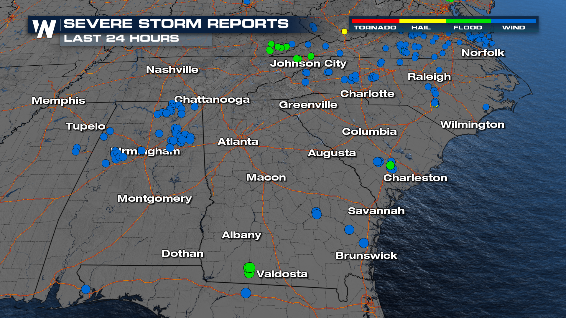
A cold front sweeping across the Southeast this weekend is bringing the chance for some severe storms. Storms on Friday led to multiple reports of downed trees ending the workweek for many on a loud note. Others were treated to a sighting of mammatus clouds (above) like they were in Tuscaloosa! These can be seen in the wake of some stronger storms often.
 This same front will be leading to a handful of other weather headlines this weekend.
It will be sparking more storms in the northeast: Severe Weather Threat Continues For the East
It is also the trough that is pulling our tropical system northward: Hurricane Watches Issued for Parts of Florida
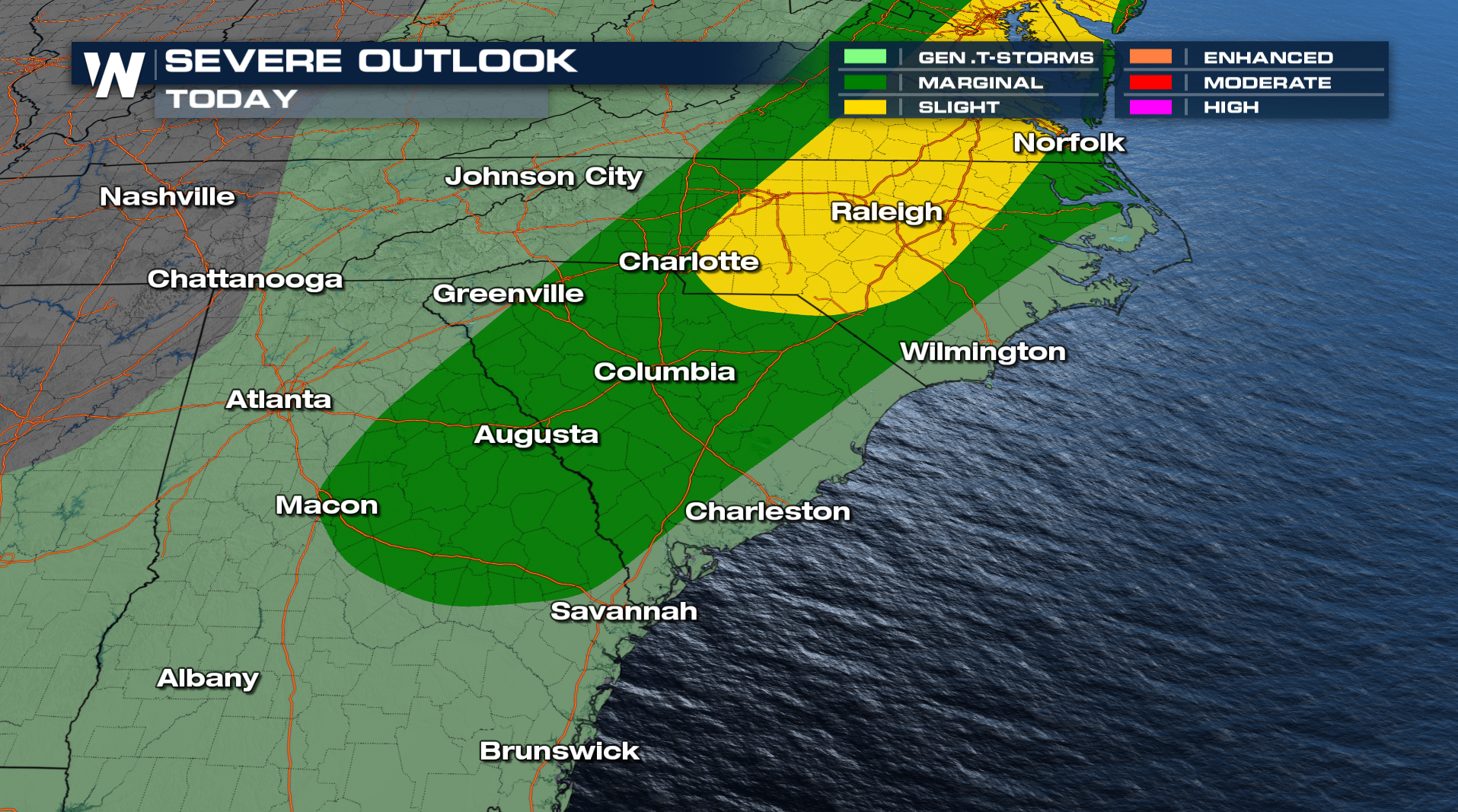
 The cities under the greatest risk for more powerful winds Saturday afternoon include Charlotte, Raleigh, Columbia, and Macon. Timing will favor the afternoon and evening hours.
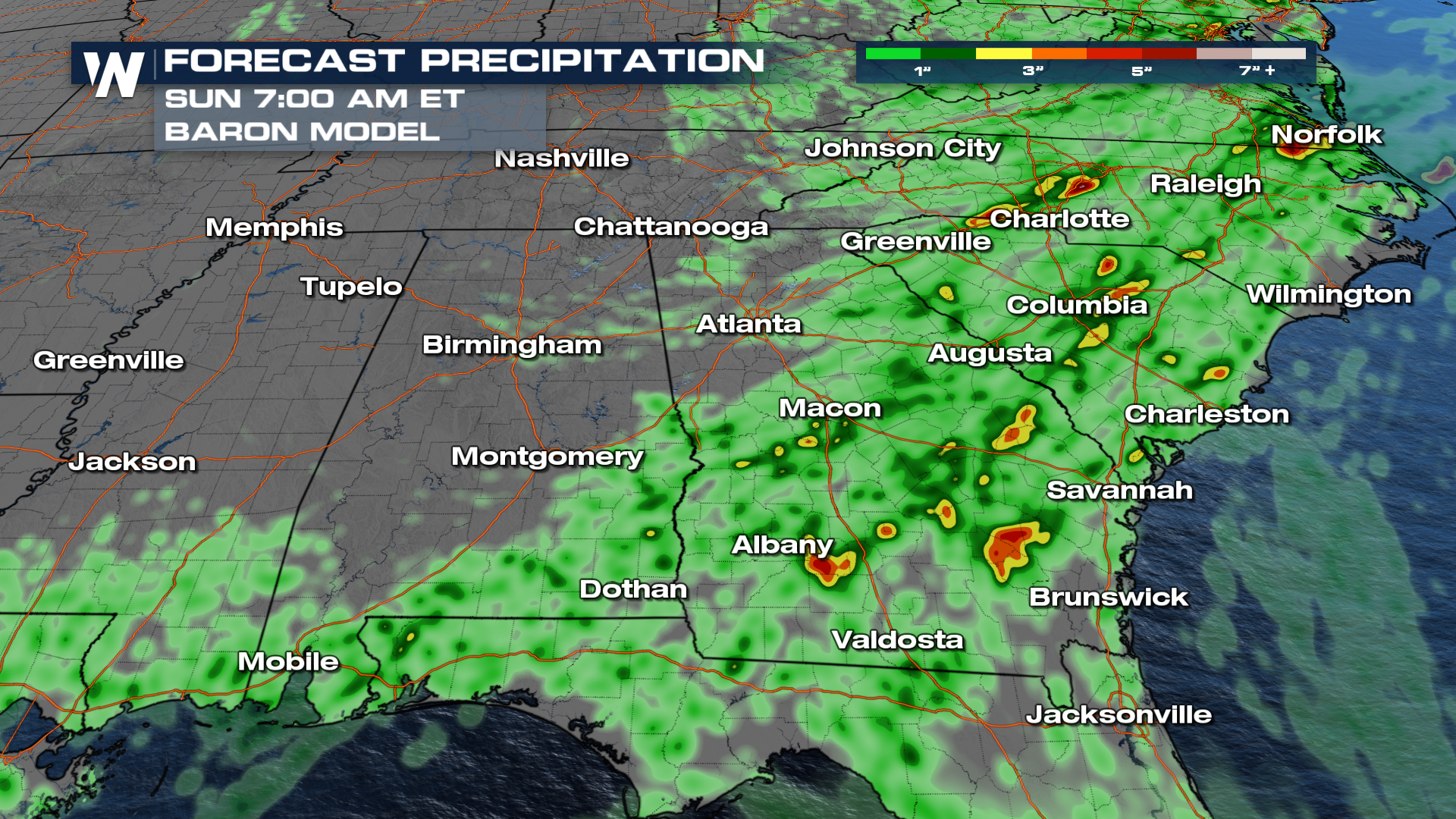
On top of the rain we've received recently, which has surpassed 5" in some locations, more is on the way.
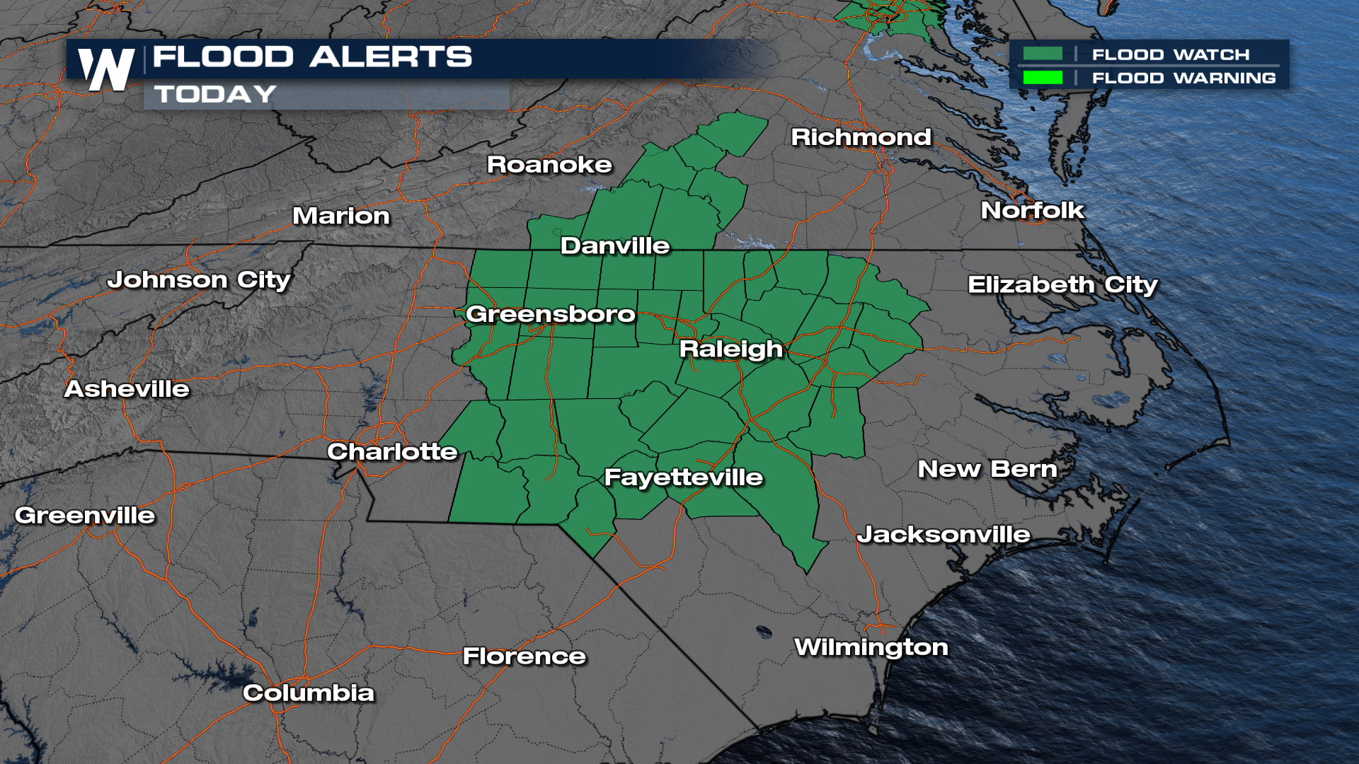
 Localized spots could receive another three to four inches, which could prompt additional flash flooding.
