Rafael Fuels Lingering Flood Risk in the South
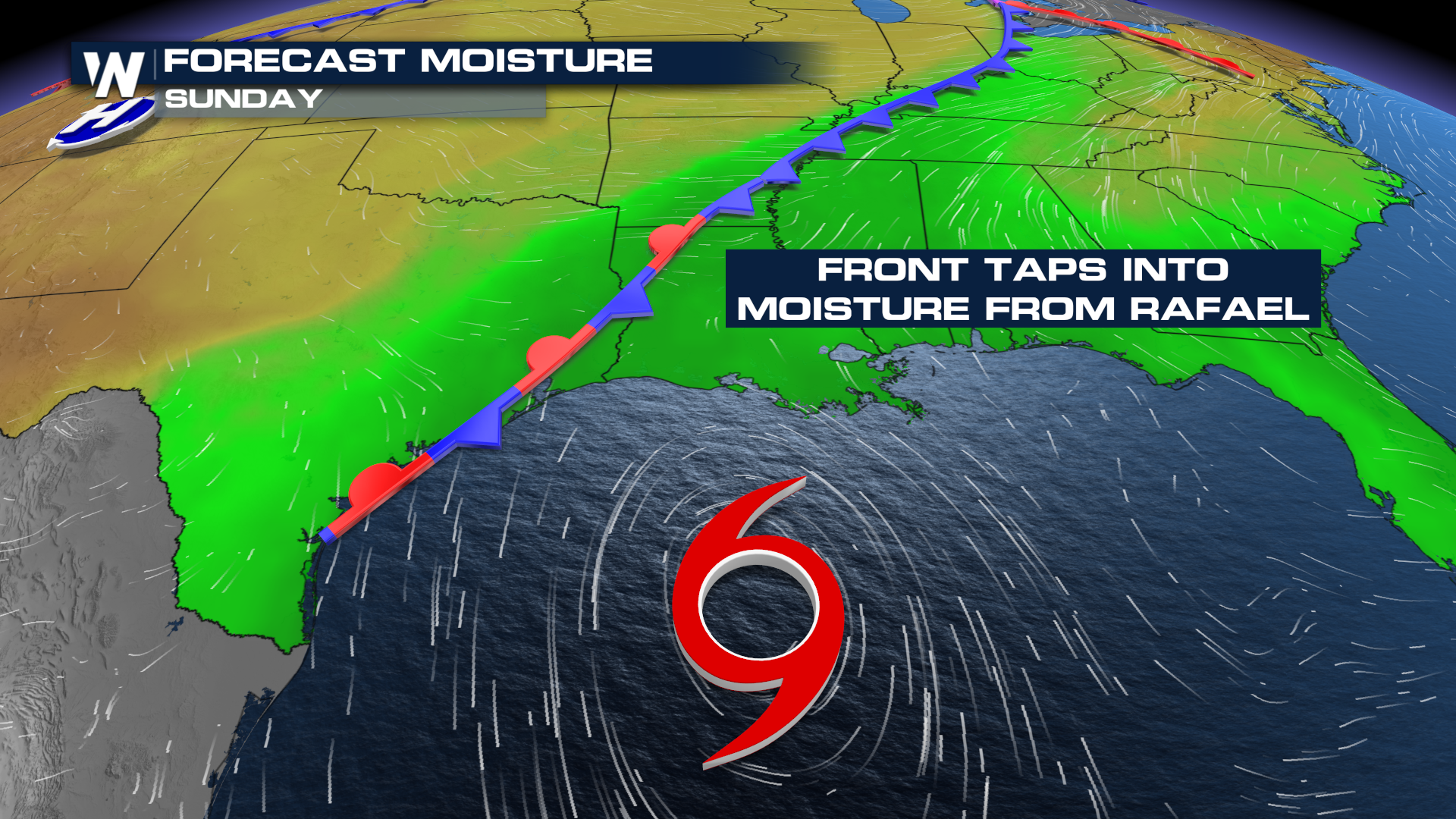
Widespread flash flooding developed in Louisiana on Saturday, thanks to a slowly moving frontal system that is pulling moisture north from Tropical Storm Rafael. Rain totals surpassed 6 inches to kick off the weekend, leading to numerous Flash Flood Warnings.
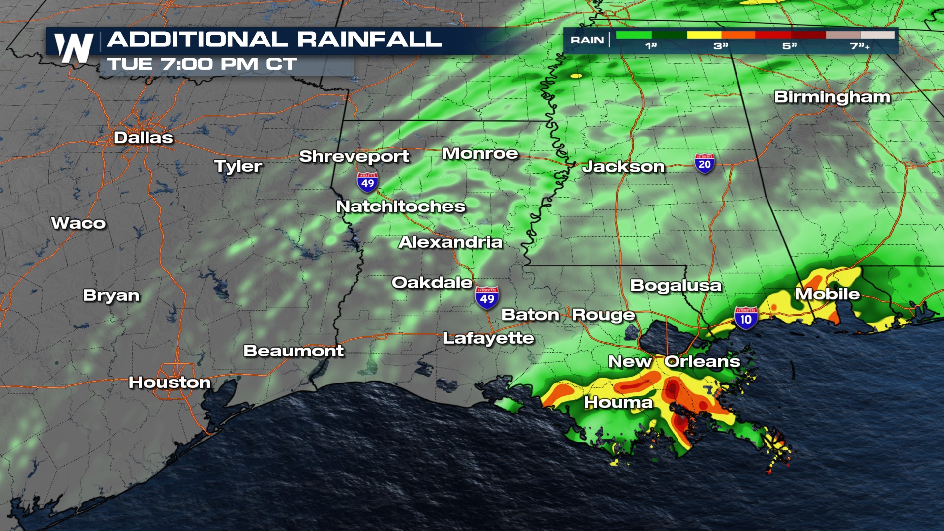
 As Rafael continues to spin in the western Gulf, it will send rounds of moisture north across the lower Mississippi Valley through this weekend before it drops south on Monday and the moisture flow is cut off. Additional heavy rainfall will favor the southern parishes of Louisiana on Sunday.
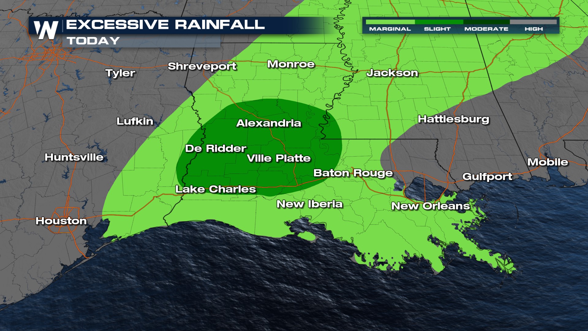
An isolated flood risk will linger into Sunday, with the Weather Prediction Center is highlighting many of the same areas that saw problems yesterday in their Excessive Rainfall Outlook.
 The forecast for Louisiana can be watched at :30 past the hour in the Central Regional Forecast, while the forecast for Tennessee can be viewed at :10 past the hour in the Eastern Regional Forecast. Both can be accessed through the WeatherNation app anytime!