Late Week System Brings More Snow for the Northeast
The Northeast saw up over a foot of snow earlier this week in parts of New Hampshire with impressive snowfall totals in New York as well. We have a weak system sliding through the area today with limited moisture, so we don't expect widespread rain or snow. Despite the lack of winter weather, falling temperatures could lead to icy spots especially early Saturday morning.
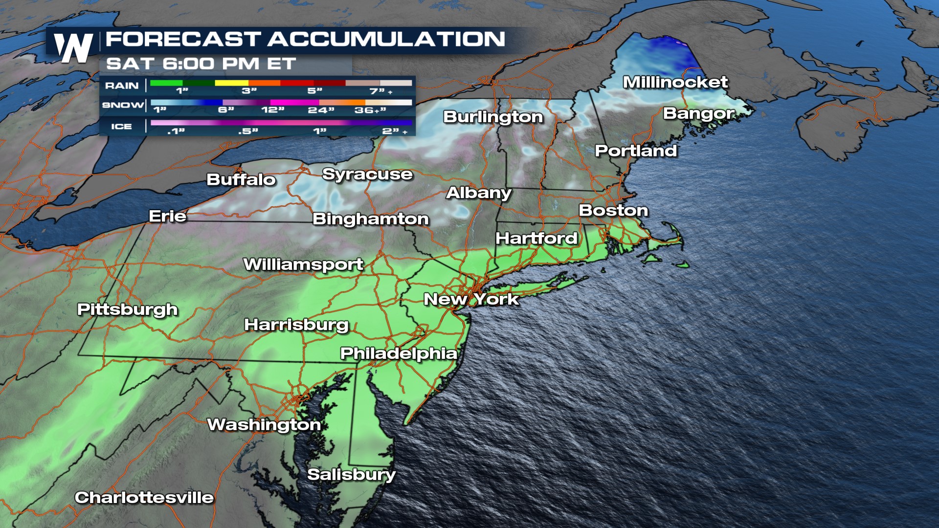
 Rain showers and snow showers move into northern New York and New England Thursday afternoon and evening. Most of us north of I-90 will see snowfall with temperatures warm enough to support rain for the I-95 corridor of MA, CT, and RI along with downstate New York Thursday night into Friday. The front should clear the area by Friday morning with clouds and lingering showers behind it.
Forecast accumulation is pretty minimal, especially when comparing it to our last snowstorm. The bulk of the snow is taking target towards northern Maine. That's where we have the potential of seeing 4-7" of snow pile up.
