A Look at the Severe Weather Threat for the Rest of the Week
Special Stories
9 May 2018 2:34 PM
Areas of the Great Lakes and the Ohio Valley have the potential to see severe thunderstorms today as a slight risk has been posted by the Storm Prediction Center. Large hail greater than the size of a quarter and wind gusts higher than 60 mph are the biggest threats. Marginal severe weather risks have been posted in Kansas and the Northwest.
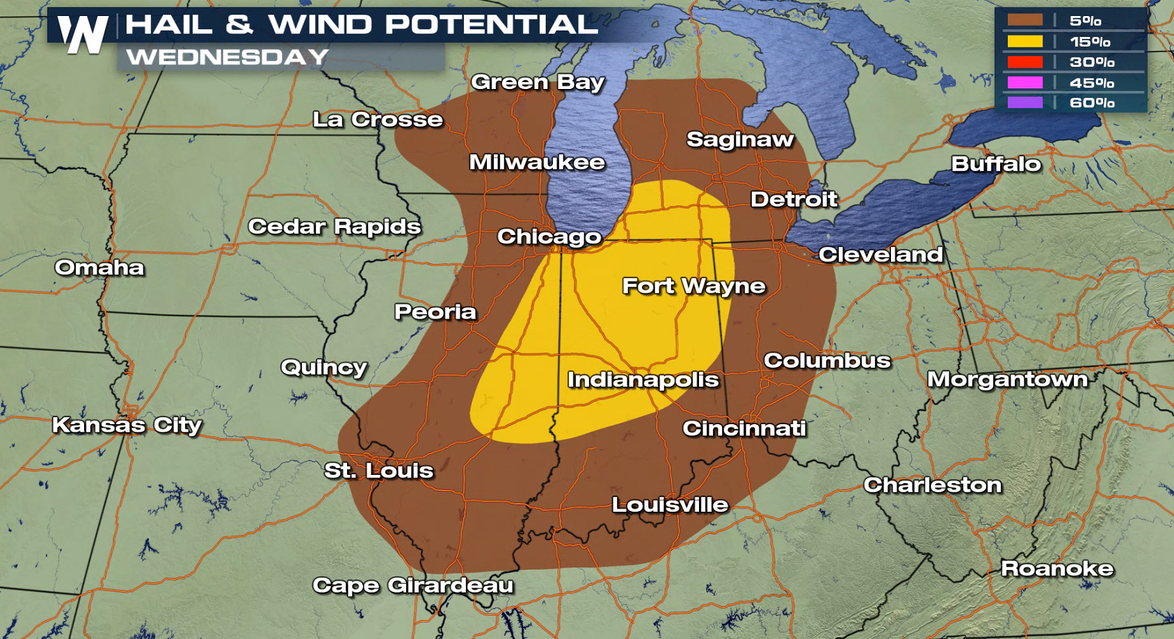
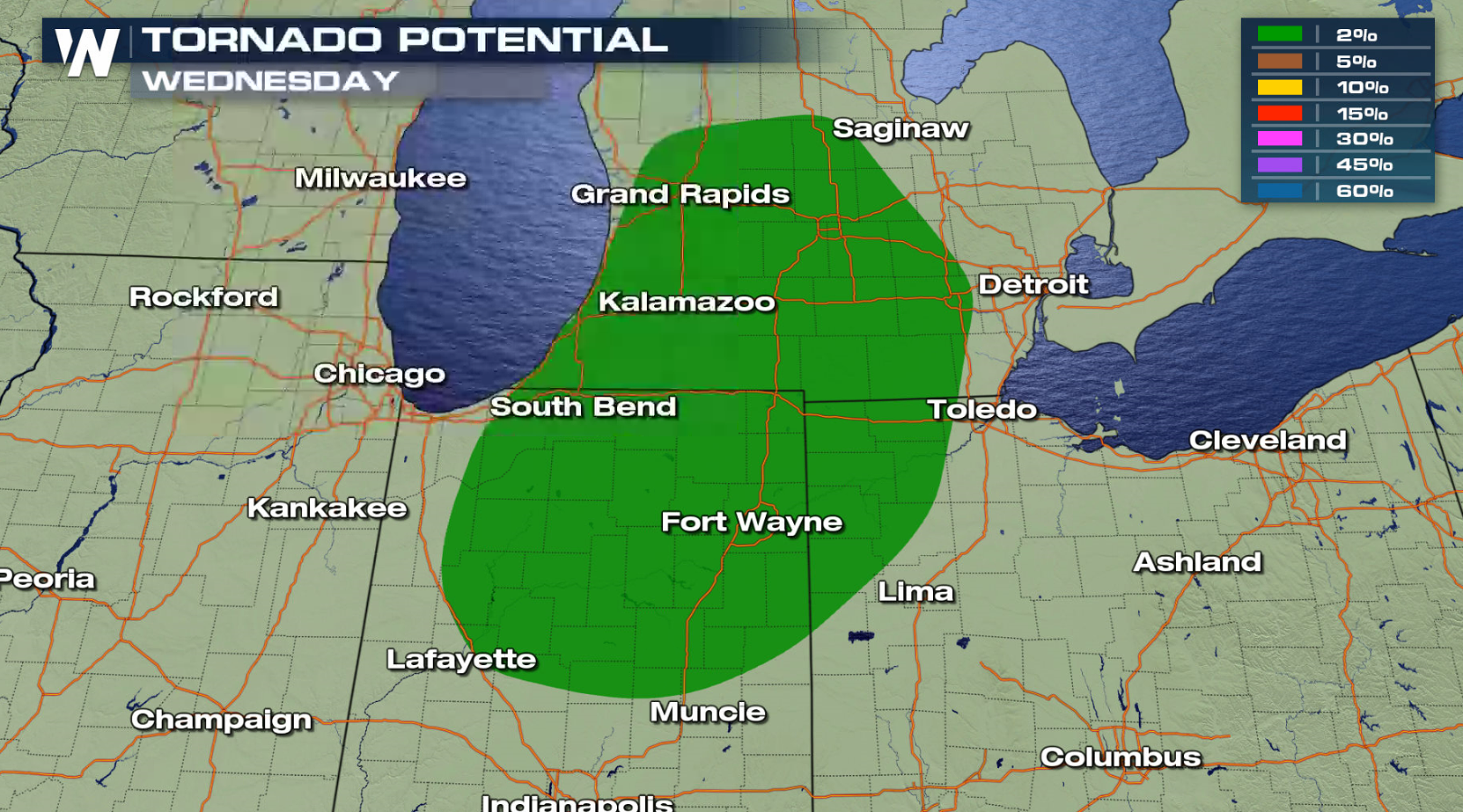
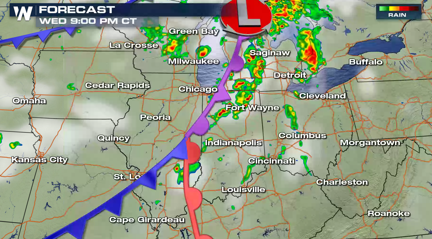
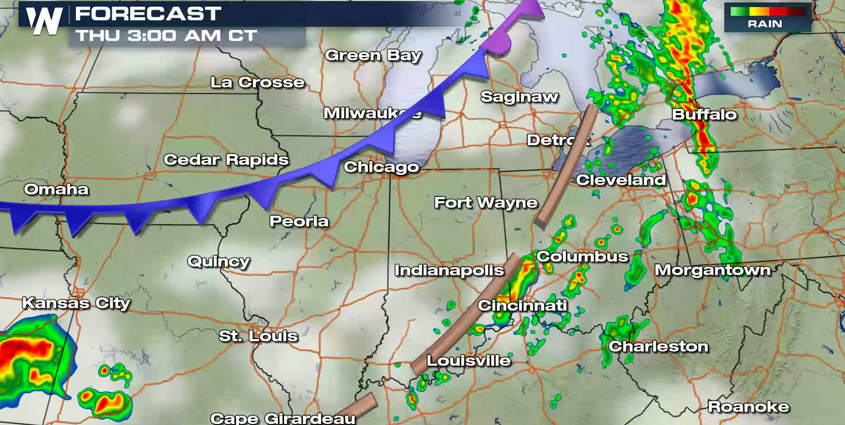
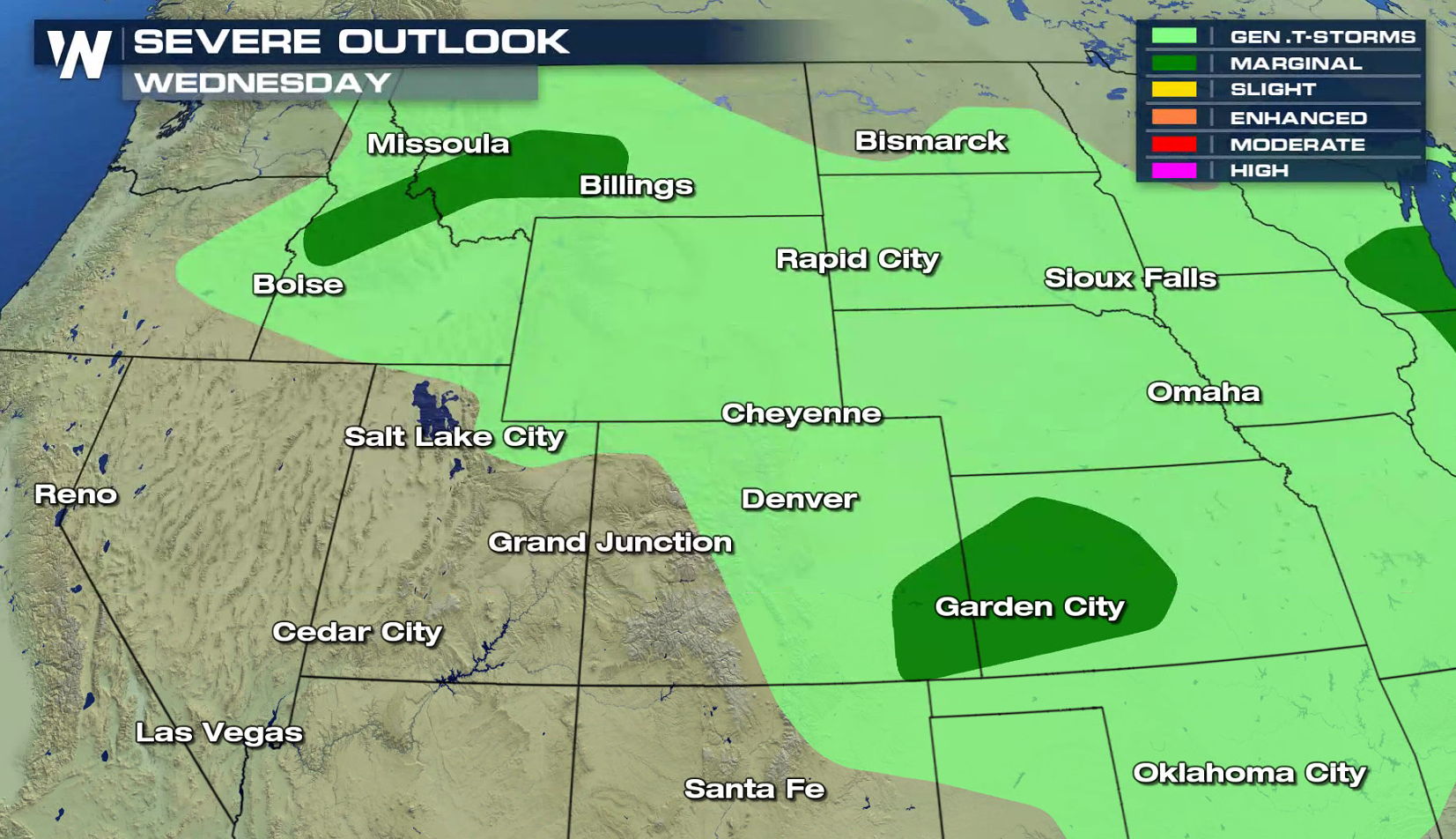 A low pressure center and cold front will be the focus for severe thunderstorm development into tonight. Storms will develop in Michigan and Illinois this afternoon, and then push into Indiana and Ohio. Intensity will likely weaken overnight.
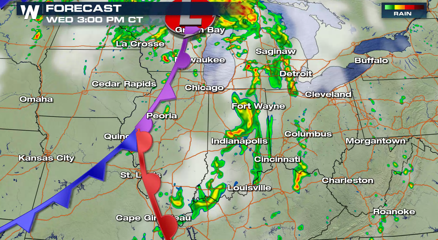
 For Thursday and Friday, a slightly stronger low pressure center will move into the Plains. Humidity levels will be increasing and energy will be in place.
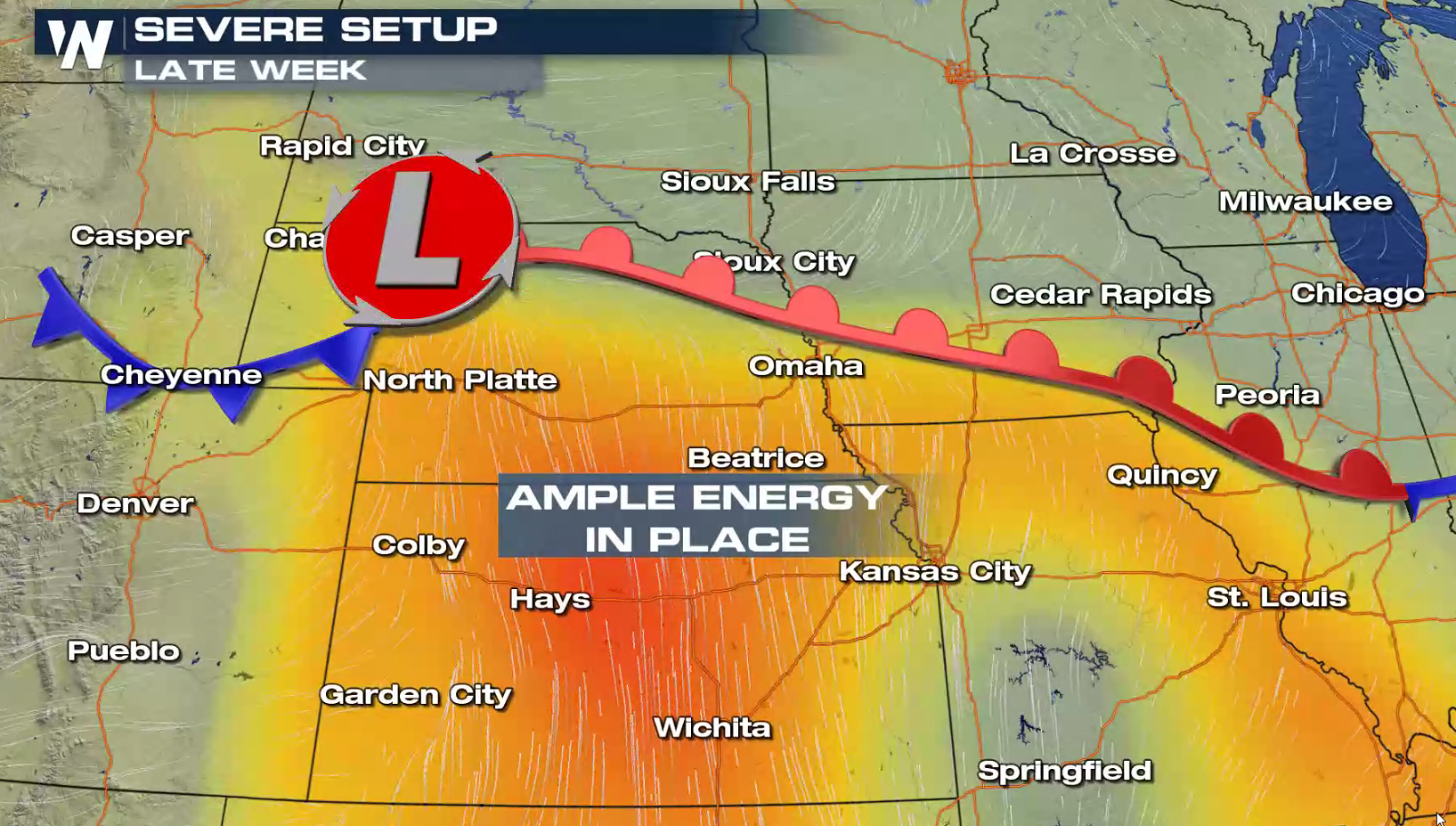
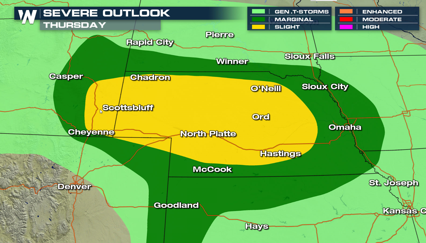
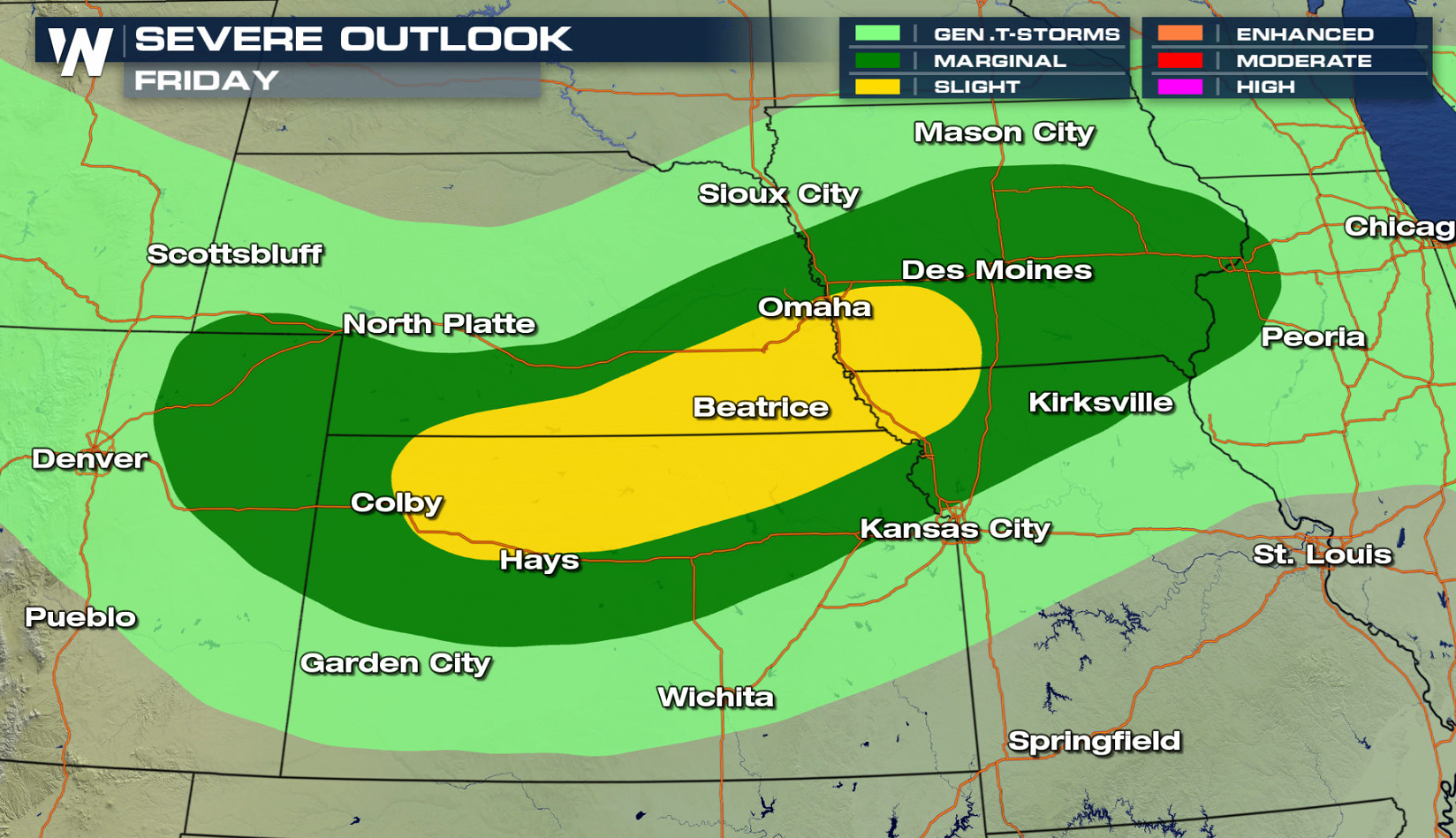
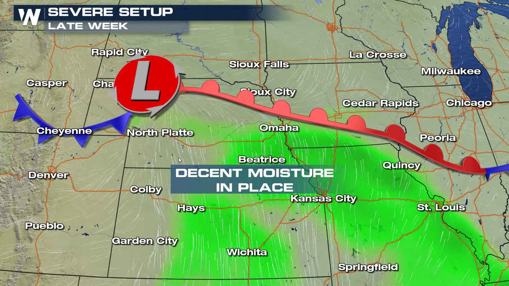 There is a slight risk for severe thunderstorms for the central Plains Thursday and Friday. Areas of Nebraska may see severe thunderstorms Thursday, sliding into Kansas and Iowa Friday.
 For WeatherNation: Meteorologist Mace Michaels


 A low pressure center and cold front will be the focus for severe thunderstorm development into tonight. Storms will develop in Michigan and Illinois this afternoon, and then push into Indiana and Ohio. Intensity will likely weaken overnight.


 For Thursday and Friday, a slightly stronger low pressure center will move into the Plains. Humidity levels will be increasing and energy will be in place.

 There is a slight risk for severe thunderstorms for the central Plains Thursday and Friday. Areas of Nebraska may see severe thunderstorms Thursday, sliding into Kansas and Iowa Friday.

 For WeatherNation: Meteorologist Mace Michaels
All Weather News
More